Get Started
ForWarn provides near-real-time tracking of vegetation changes across landscapes in the United States. Useful for both monitoring disturbance events as well as year-to-year variability, derived products can also be used to develop insights into seasonal and inter-annual dynamics.
» Introduction to ForWarn
» Data Access
» Contact Us
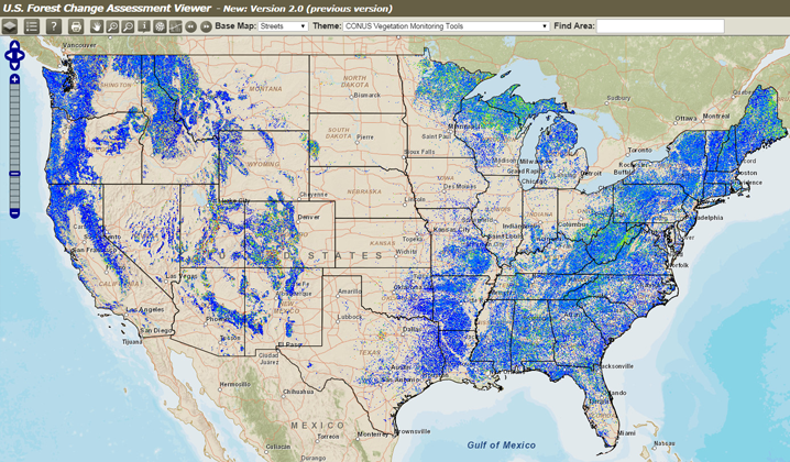
Forest Change Assessment Viewer
The Forest Change Assessment Viewer provides a vegetation change recognition and tracking system for ForWarn that uses high-frequency, moderate resolution satellite data.
Recent News
07/06/2022 - 13:15
View ForWarn III, Sentinel-3-based forest change products now in ArcGIS Online (AGOL).
No ESRI account required, use this AGOL web map 'as is' or add other data layers from your agency's' AGOL...
06/30/2022 - 08:57
ForWarn 'II' uses NASA's MODIS satellite imagery. Currently, NASA MODIS have not supplied source imagery since May 24, 2022. ForWarn II production using this data stream has been discontinued....
06/30/2020 - 10:36
2020. Norman, Steven P.; Christie, William M.. Chapter 7 - Satellite-based evidence of forest stress and decline across the conterminous United States for 2016, 2017, and 2018 (https://www.fs.usda....
Home
Welcome to ForWarn II!
ForWarn II has enhanced sensitivity, now showing even slight disturbances earlier than ever before, and now covers a larger geographic area.
ForWarn II is mostly the same system with which you're already familiar, but now has a totally new production system that offers some exciting new capabilities, including some new products designed for specialized purposes. For example, disturbances within grasses, shrubs and other shallow-rooted vegetation can sometimes dominate the disturbance signal seen in ForWarn maps, particularly in the Western United States. Almost every ForWarn II disturbance map now has a "Muted Grass/Shrub" companion product that concentrates on the disturbance responses of trees, reserving more of the dynamic range in the maps for showing forest impacts.
Most new ForWarn II products are already available for the entire MODIS period starting in 2003 to present. Most of the data viewer features, like the Share-This-Map, the NDVI graphing tool, and the PestProximity tools, will still work just as always. Documentation is still being developed, so please pardon our virtual dust as we continue to carry these improvements throughout the entire Forest Change Assessment Viewer 2 and the ForWarn II website. Enjoy the new features, and we welcome your feedback!


