Tracking the historic Rim Fire
More information about this event
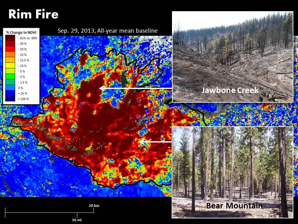
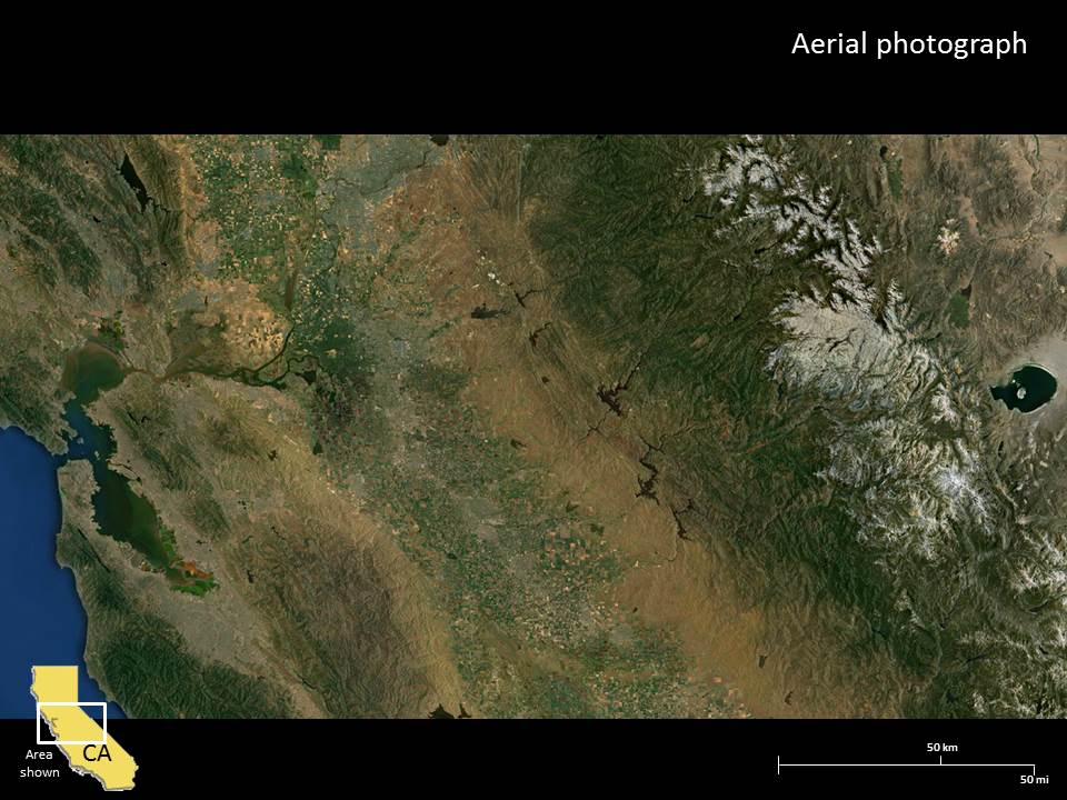
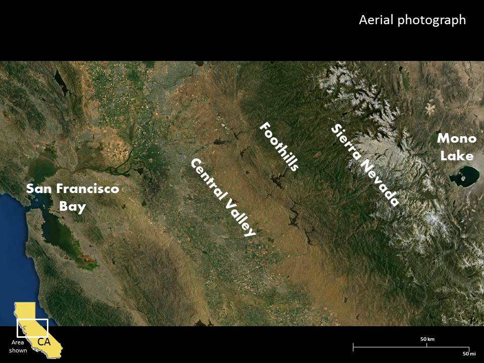
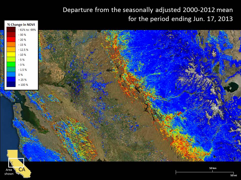
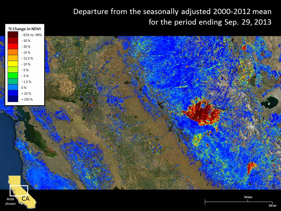
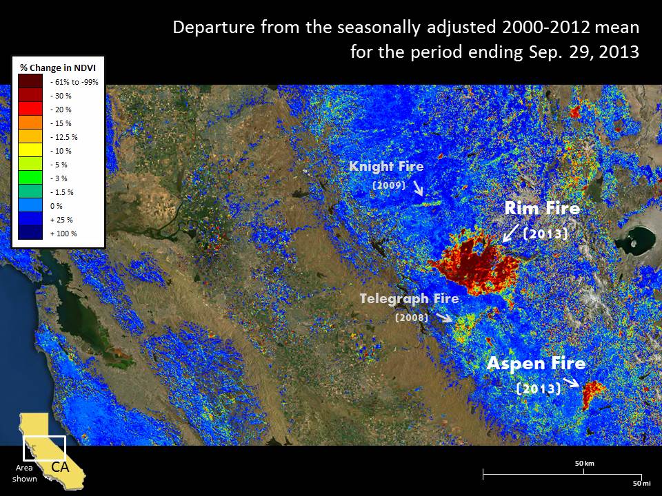
The 2013 Rim Fire burned over a quarter million acres of California's Sierra Nevada, including a portion of the Stanislaus National Forest and Yosemite National Park. It started in mid-August as an illegal campfire after an unusually dry winter and spring. A lower-than-average snowpack melted early, signaling that a hazardous fire season lay ahead. That early season dryness contributed to the below-average productivity in the foothills as shown on ForWarn's June departure map. Once ignited, dryer fuels and other weather conditions helped this fire spread rapidly.
Where fuels were heavy the fire generally burned more intensely than where fuels treatment recently took place. ForWarn captured these different effects across the Rim Fire area. The photo insets show a high severity area in the eastern part of the Jawbone Creek watershed and a low to moderate severity area that had experienced fuels treatment near Bear Mountain. The Rim Fire's extent and vegetational effects were partially checked by recent fire use, particularly in Yosemite National Park. Areas that have not yet burned or received fuels treatment in low to mid elevations near this fire are likely to experience additional wildfire in coming years. These elevations support abnormally high concentrations of live and dead fuels that have been linked to twentieth century fire suppression.
References
Photos, maps and other information on the Rim Fire can be found on Inciweb:
The Fire Suppression effort: http://www.inciweb.org/incident/3660/
The Rehabilitation effort: http://www.inciweb.org/incident/3726/